Since everyone is asking exactly what got recommended, here are the IPA maps in the disputed regions. I only put up maps in kayak interested areas. This is not the whole array of closures. I didn't put up the Laguna map since I don't know the area that well and I think they moved the boundaries a little bit and the marine map version isn't updated yet.
All this information is unofficial. Just what I understood from the meeting. I hope this clears up any confusion about what exactly was proposed.
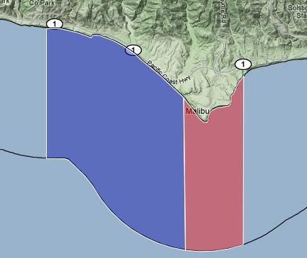
Doom, I mean Dume:
No useful H&L in the blue. They changed the boundary between the blue and red a little bit, but it doesn't really matter since no useful fishing is allowed for us anyways.
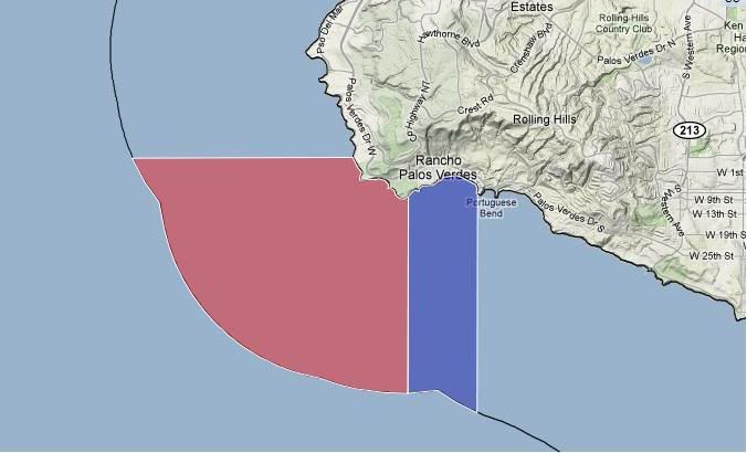
PV:
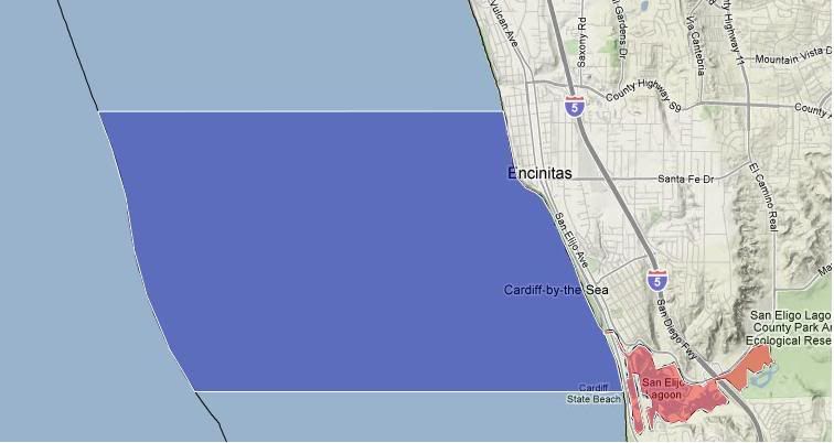
Swamis/Encinitas, no H&L fishing in this one.
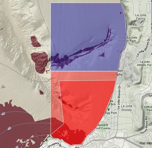
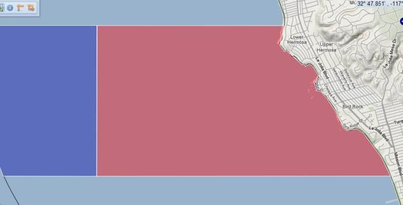
LJ
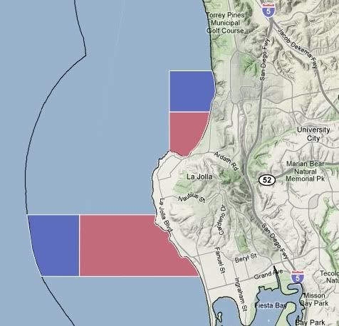
The south reserve starts at about Winamar Street at Wind and Sea, and almost goes to Crystal pier. The blue area is supposed to allow pelagic take.
The blue area along Blacks Beach allows bait to be caught only.
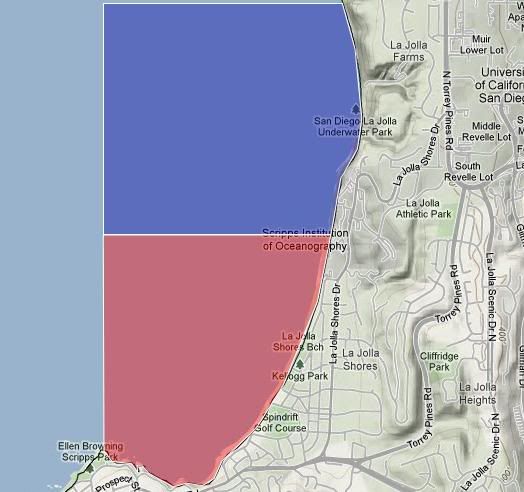
Literally cutting the Scripps Pier in half
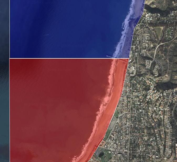
For comparison, the old and new LJ boundaries: